Maps
A map that shows where the pavement ends.
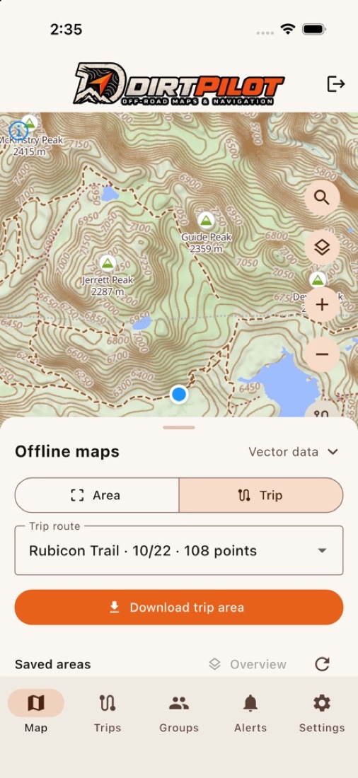
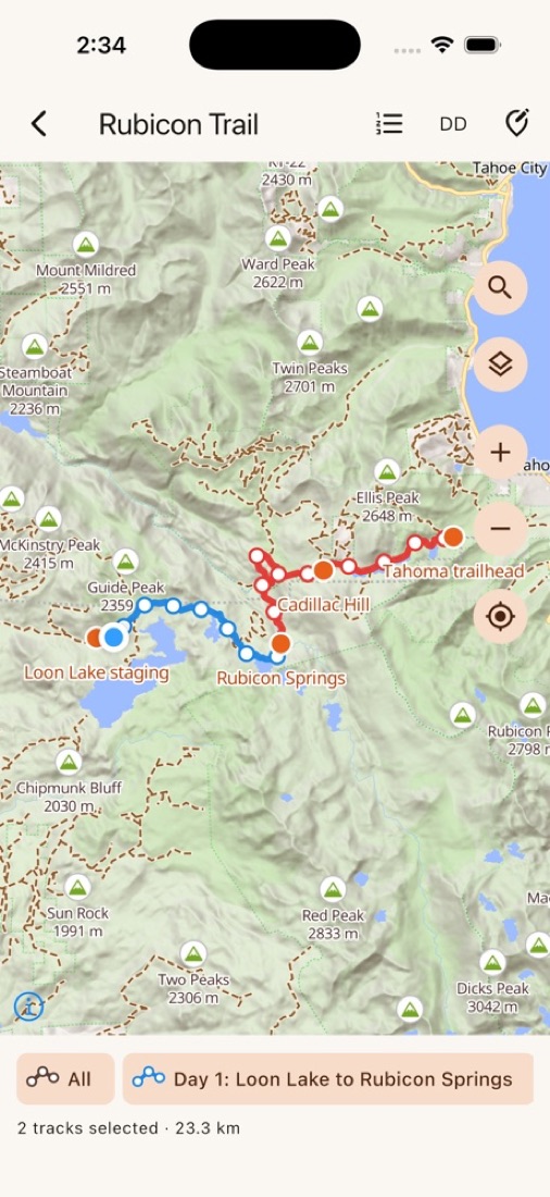
DirtPilot's own maps for the US, Canada and Mexico bring out what matters off-road.
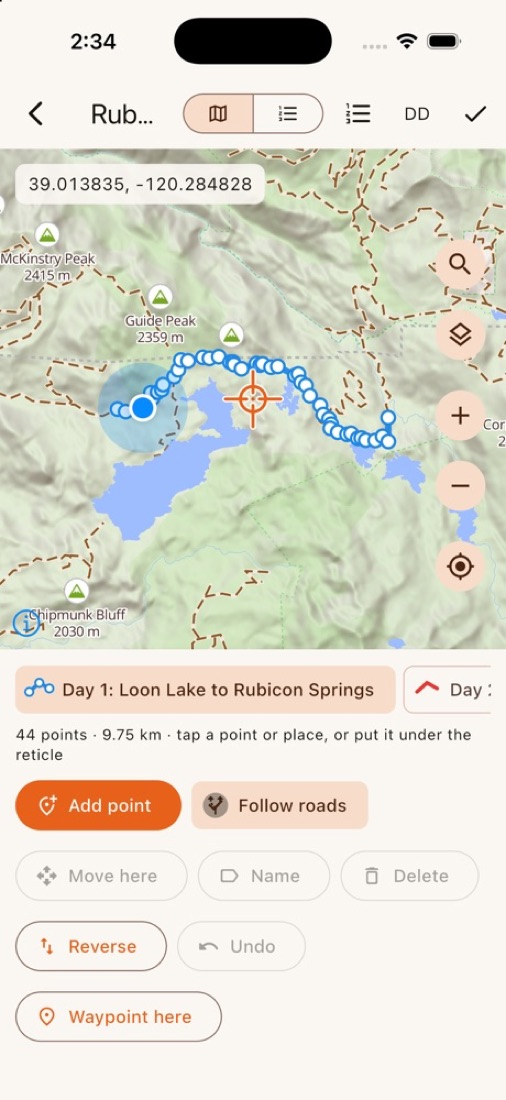
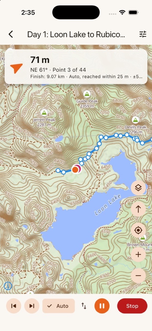
- Dirt tracks, trails and unpaved roads in their own colors, named from wide zooms
- Private and closed roads marked in red
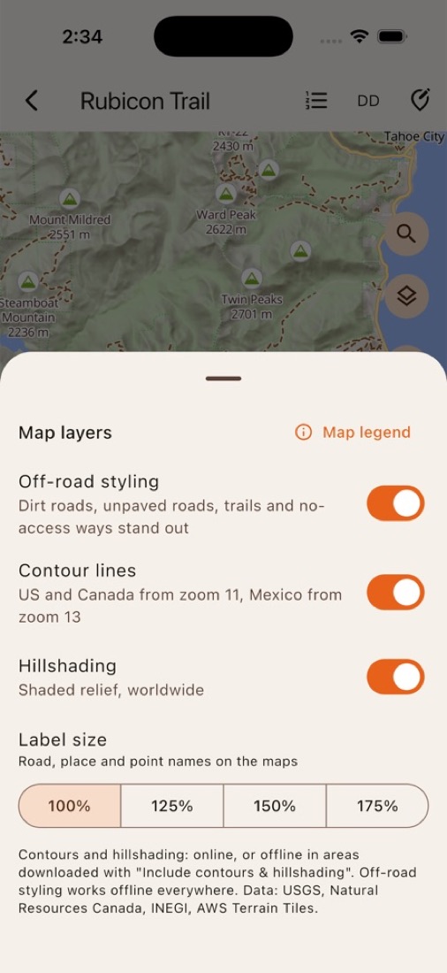
- Contour lines and hillshading to read the land
- Peaks, campsites, drinking water, fuel and viewpoints; tap a road to see its name
- Label size for easy reading on the dash